 |
| Jack & Jill Windmills at Trailwalker Checkpoint 8 |
The Training Walk
Good Friday allowed the team to hike across more of the Trailwalker route as we seek to walk the whole course through our training. This week it was stages 6, 7 and 8, taking us from Washington to Jack & Jill Windmills. The distance should have been 16.2 miles, but in-keeping with what is now a Hardcore Four tradition, we inadvertently increased the distance. This time though, it was not our fault...honest!
This is the first time we have done more than two stages which meant taking two of our OS maps, and in addition to the route's positioning on those maps, it meant we had to become experts the art of map folding.
.JPG) |
| A view from the car park at Checkpoint 8 |
Washington is checkpoint 5 and it is likely to be the checkpoint where the day support crew, Jeff & Stewart, hand over to the night support crew, Tracy & Peter.
 |
| Jo showing off her new BAM trousers |
 |
| Gubbs stretching...we think. |
The start of the stage takes you up a long incline so we stopped for a quick stretch at the top. Once you make the top it is all down hill the rest of the way, leaving you to enjoy your lofty position, giving you some of the best views from the South Downs that we have experienced so far. It is unfortunate to think that at this stage of Trailwalker for us it will be getting dark.
 |
| The team taking on water in front of Chanctonbury Dew Pond |
A little further along we saw Chanctonbury Ring, a hill fort built in the Iron Age, turned temple location in Roman times, but now known for its ring of beech trees.
As we approached we heard howling. Were these Iron Age ghosts making themselves known at our presence..?
No, as it turned out it was just a pack of search dogs and their trainers that we spotted earlier in the car park.
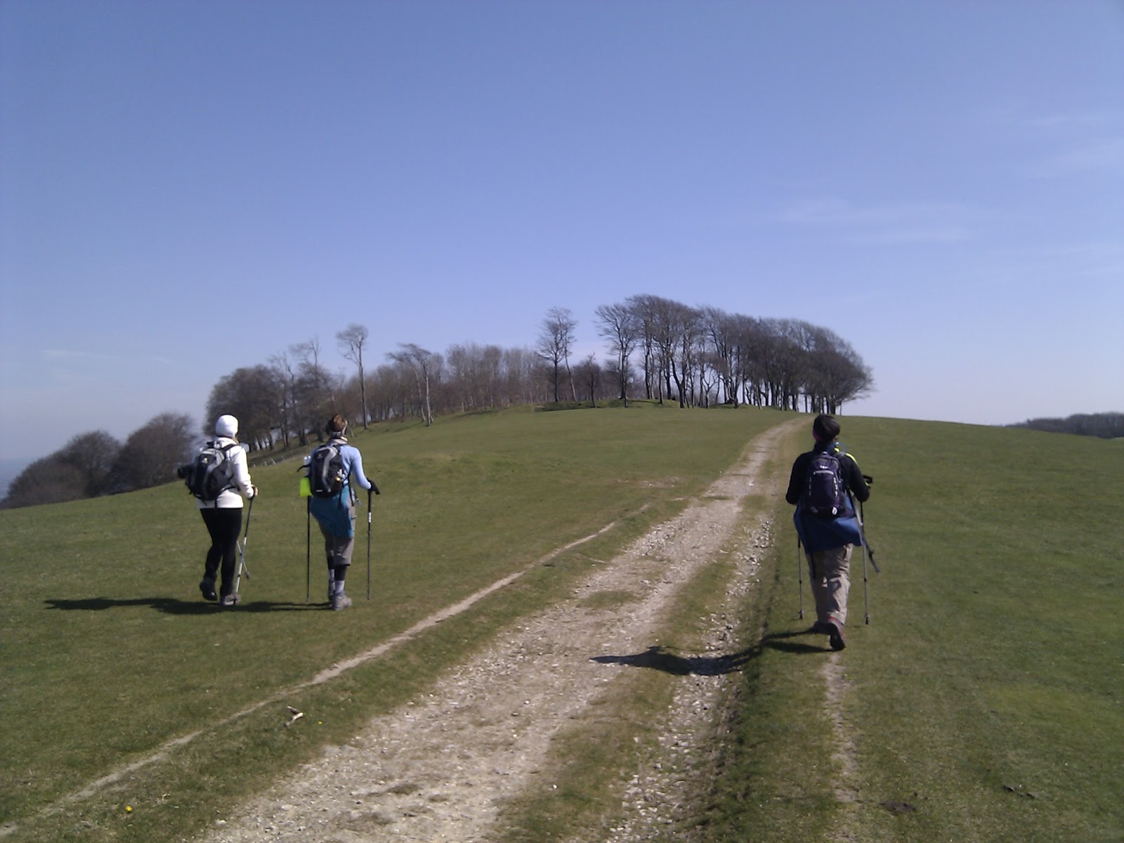 |
| Walking towards Chanctonbury Ring |
This was a popular location for walkers and cyclists on Friday. Maybe it was the extra day off work, the weather, or that we were at a landmark, but we saw more people on this stretch than we were normally used to.
This was Jo's first outing with her new Deuter backpack after finding that her old one was a little too big for the purposes of Trailwalker. Julie told the team about the survival instructions that are printed on the inside of the bag. She started demonstrating the signs to helicopters for 'Yes, I need help' and 'No, I don't need help'. Julie had only finished with her demonstration when a helicopter raced over our heads. We realised that Shoreham Airport was just a short distance away and perhaps practising these signs were not the best of ideas here!
.JPG) |
| YES PLEASE HELP! |
On this walk we all took more food than last week and it seemed to help us stay motivated and energised. Julie made some very nice cookies which we had in our pockets to snack on as we walked and Gem dished her tasty brownies later too. We started up again 22 minutes later making note to keep an eye on our stop times.
.jpg) |
| Stile, Gate or Cattle Grid? You decide... |
It was also at the top of this incline that Gubbs found that his right walking pole tip had gone missing! Cue the *Tink* sound of metal on flint for the rest of the walk.
 |
| Paragliders from Devils Dyke |
We took a 12 minute stop at checkpoint 7 to snack and stretch a little.
From this point on the topic of conversation turned to being able to see the Jack and Jill windmills that we left hours ago. We knew that we would be able to see them on the hilltop, so at every hill we took on in this stage we were asking ourselves if this was the one we'd be able to see the windmills. It seemed that we'd never get there until finally we got to the top of the last one and we could see them. We knew the end was in sight! At this point Gubbs found that his other walking pole tip had also gone missing. We're going to need spares.
 |
| No balls please. |
Finally the path took us to Jack & Jill and the car. The sky had at this point clouded over and it felt colder again so we were pleased to be heading home.
We completed our trek in 8 hours and 8 minutes covering 19.5 miles.
No comments:
Post a Comment